


Drones drafted for frozen foray
 Print
Print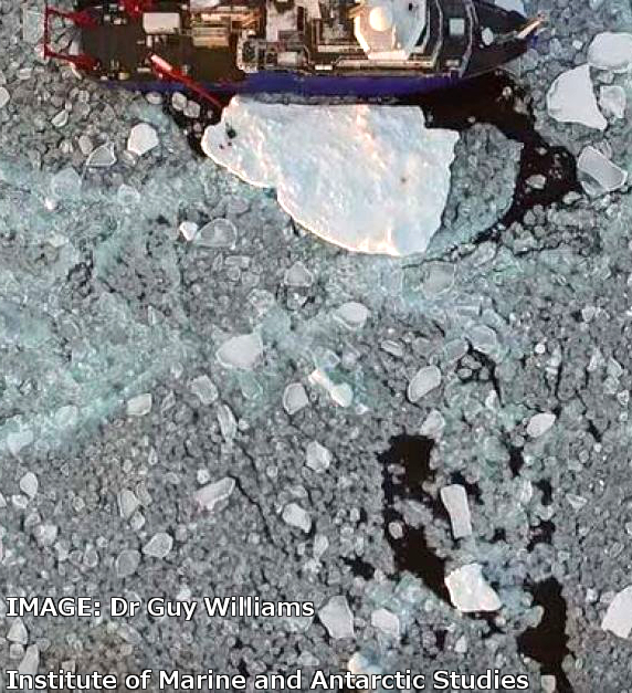 Tasmanian experts are back from an Arctic research project where they used a variety of robots to map sea ice.
The team from the Institute of Marine and Antarctic Studies combined robotic submarines with autonomous aerial drones to map both sides of giant ice sheets.
Senior researcher Guy Williams said the devices function autonomously, but are constantly linked.
“This equipment can go out and operate like a robot essentially under the sea ice and also above the sea ice,” he told ABC reporters.
“The thing we're after mainly is sea ice thickness and the distribution of sea ice in those regions.”
Dr Williams said the Arctic experiencing dramatic shifts.
“It's generally been accepted to be a fairly permanent ice cover, but now as it is declining there's more areas of open water,” he said.
“A key focus of this study was looking at how the wind is generating waves and what the waves are doing to the ice.”
The lessons learned in the Arctic will now be applied to matching studies of the Antarctic.