


City scheme gets digital twin
 Print
Print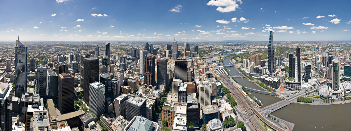
Experts are working on a “digital twin” for the Fishermans Bend renewal project in Melbourne.
The renewal project could see up to $30 billion spent on reconstruction between now and 2050.
Land Use Victoria and the University of Melbourne will develop a “digital twin” – a complete virtual recreation of the project, incorporating live data to illustrate traffic flows and demand for resources like electricity and water throughout the day.
The University of Melbourne’s Centre for Spatial Data Infrastructures and Land Administration (CSDILA) is running the project, which aims to produce a digital map that will track assets and infrastructure over time.
The digital twin will include design and condition information for physical assets above and below ground, plus legal boundaries for current and future developments to refer to in the 30-year urban renewal project.
The project is to be built on Cesium Ion's geospatial platform using FAIR data principles (Findable, Accessible, Interoperable, Reusable), allowing different stakeholders over time to access the map through their own digital planning and management systems.
CSDILA director, Professor Abbas Rajabifard, said it will further Melbourne’s ambitions to be a smart, liveable city.
“The Fishermans Bend digital twin will be a collaborative project across government, research and industry, which will allow us to collect, manage and visualise complex digital information about cities and infrastructures,” he said.
“Using geospatial innovations and capabilities, we will enhance Victoria's liveability and Melbourne’s goals as a smart and sustainable city.”
The university owns seven hectares of land at Fishermans Bend, where it plans to build a new campus for engineering, design and IT.