


Drones honed on leaky pipes
 Print
Print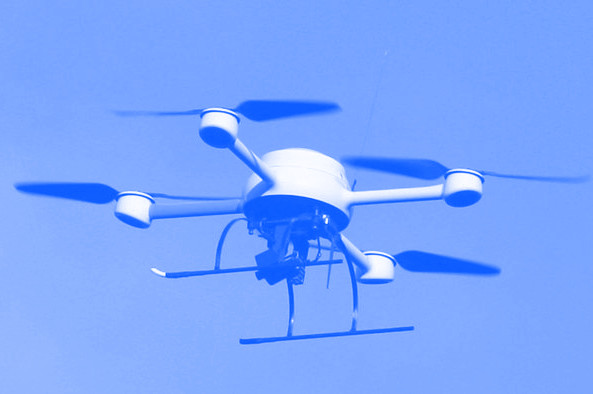 Drones may soon be used to spot burst water pipes.
Leaking and burst water pipes cost authorities and consumers time and money, as well as wasting a precious resource.
Researchers at the University of Newcastle hope to swoop in before leaks and bursts happen, using drone technology to predict which areas, and even which specific pipes, are at risk of water loss.
They are training drones to look at underground water supply networks, assessing cast iron pipes for corrosion and measuring the amount of moisture in the ground surrounding them.
“By attaching a device called a LiDAR to a drone we can accurately see where the lower lying areas are and, where land is not covered by buildings or concrete, we can also tell how wet the ground is,” says Associate Professor In-Young Yeo.
LiDAR (Light Detection and Ranging) is a remote sensing method that uses a pulsed laser to measure ranges (variable distances) to the Earth.
Differences in laser return times and wavelengths can then be used to make digital 3-D representations of the landscape and indicate the amount of water in the ground.
The university is working with Sydney Water to help protect its assets.
With a network of over 22,000 km of water pipes, Sydney Water says that understanding the wet patches around pipes will help target further condition assessment and pipe failure prediction.
It is all part of a larger project run by the NSW Smart Sensing Network (NSSN), which has brought together Sydney Water, Hunter Water and seven other water utilities, with the University of Newcastle and four other universities in NSW and ACT, to develop technologies to assess the condition of water supply networks.
“Our research promises to inform corrosion assessments of aging infrastructure, allowing targeting of maintenance and replacements and preventing expensive and disruptive breaks and leaks,” said Associate Professor In-Young.
“We know this technique works so we are now looking to increase the accuracy of wetness detection and we’re investigating automation to enable observation of even larger areas.”
Looking to the future of this technology, Associate Professor In-Young sees these emerging techniques being used beyond assessing the state of water infrastructure to such applications as monitoring wetlands and managing irrigation.